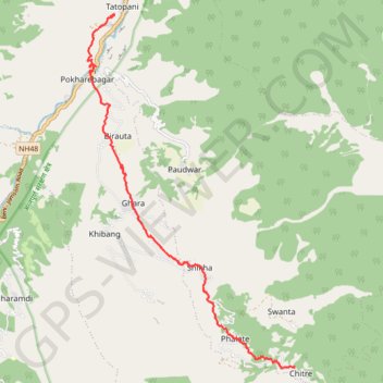
Tour Annapurna - Jour 15 - Tatopani - Chitre
Randonnée pédestre. En aller simple. #Randonnée
- Distance: 14.1 Km
- Elevation gain: 1,918 m
- Maximum elevation: 2,389 m
- Elevation loss: 850 m
- Minimum elevation: 1,186 m
Interactive map
GPS track profile
About this GPS track
Name: Tour Annapurna - Jour 15 - Tatopani - Chitre GPS track, route, trail
Coordinates: 28.42355 83.64594 28.49594 83.69433
Other GPS tracks
Click on a GPS track to view route, its statistics and profile.