Strathcona Wilderness Center
- Distance: 5.6 Km
- Elevation gain: 37 m
- Maximum elevation: 770 m
- Elevation loss: 37 m
- Minimum elevation: 755 m
- Moving time: 1 h 11 m
- Moving speed: 4.7 Km/h
- Maximum speed: 7.8 Km/h
- Total time: 1 h 34 m
- Global speed: 3.5 Km/h
- Date: 2024-05-06
Interactive map
GPS track profile
About this GPS track
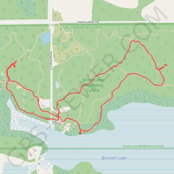
Name: Strathcona Wilderness Center GPS track, route, trail
Coordinates: 53.53166 -113.00692 53.53962 -112.98378
Topography: Division No. 11 topographic map