Yonah Mountain Loop
Interactive map
GPS track profile
About this GPS track
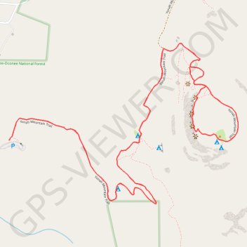
Name: Yonah Mountain Loop GPS track, route, trail
Start: Yonah Mountain Trail, White County, Georgia, United States (34.63740 -83.72565)
End: Yonah Mountain Trail, White County, Georgia, United States (34.63740 -83.72564)
Coordinates: 34.63434 -83.72565 34.64207 -83.71230