Jones Peak
Interactive map
GPS track profile
About this GPS track
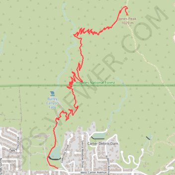
Name: Jones Peak GPS track, route, trail
Coordinates: 34.17103 -118.06253 34.18731 -118.05277
Other GPS tracks
Click on a GPS track to view route, its statistics and profile.
Name: Jones Peak GPS track, route, trail
Coordinates: 34.17103 -118.06253 34.18731 -118.05277
Click on a GPS track to view route, its statistics and profile.