Import a GPX file

Big Horn Mine

Hike from Vincent Gap to the Big Horn Abandoned Mine in the Sheep Mountain Wilderness and the Angeles National Forest. #Hike #Mountain #Nature #Forest #Angeles

  • Distance: 3.0 Km
  • Elevation gain: 224 m
  • Maximum elevation: 2,110 m
  • Elevation loss: 128 m
  • Minimum elevation: 1,958 m

Interactive map

GPS track profile

About this GPS track
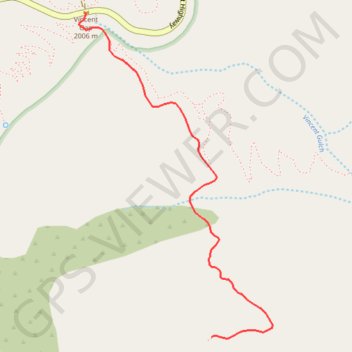
Other GPS tracks

Click on a GPS track to view route, its statistics and profile.

Mount Baden-Powell

United States > California > Los Angeles County

Hike from Vincent Gap to Mount Baden-Powell via the Pacific Crest Trail (PCT) in the San Gabriel Mountains National Monument and the Angeles National Forest. #Hike #Mountain #Nature #Forest #Angeles

Distance: 6.3 Km • Elevation gain: 857 m • Maximum elevation: 2,857 m

Mount Baden Powell

United States > California > Los Angeles County

Angeles National Forest. #Hike #Mountain #Forest #Nature

Distance: 12.8 Km • Elevation gain: 870 m • Maximum elevation: 2,855 m