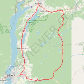
2022 TABG Aberdeen Plateau
- Distance: 141.4 Km
- Elevation gain: 2,053 m
- Maximum elevation: 1,351 m
- Elevation loss: 2,061 m
- Minimum elevation: 375 m
Interactive map
GPS track profile
About this GPS track
Name: 2022 TABG Aberdeen Plateau GPS track, route, trail
Coordinates: 49.85782 -119.42003 50.26679 -119.06296
Topography: Vernon topographic map
Other GPS tracks
Click on a GPS track to view route, its statistics and profile.