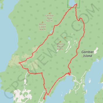
Gambier Island
A walk in the woods
- Distance: 18.1 Km
- Elevation gain: 872 m
- Maximum elevation: 522 m
- Elevation loss: 876 m
- Minimum elevation: 4 m
- Moving time: 4 h 28 m
- Moving speed: 4.0 Km/h
- Maximum speed: 10.3 Km/h
- Total time: 4 h 59 m
- Global speed: 3.6 Km/h
- Date: 2024-03-30
Interactive map
GPS track profile
About this GPS track
Name: Gambier Island GPS track, route, trail
Coordinates: 49.45934 -123.44241 49.50877 -123.38975
Topography: Area F (West Howe Sound) topographic map