Linville Falls
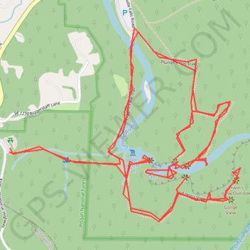
Hike from Linville Gorge Parking to Linville Falls via Erwin's View Trail, Upper Falls Overlook, Chimney View, Gorge View, Erwin's View Outlook, Linville Falls Trail, Linville River, Plunge Basin Trail, Plunge Basin Overlook and Plunge Basin in the Blue Ridge Parkway and the Pisgah National Forest. #Hike #River #Falls #Nature #Mountain #Forest #Appalachian
- Distance: 7.8 Km
- Elevation gain: 413 m
- Maximum elevation: 1,019 m
- Elevation loss: 414 m
- Minimum elevation: 938 m
- Moving time: 2 h 4 m
- Moving speed: 3.8 Km/h
- Maximum speed: 11.7 Km/h
- Total time: 4 h 37 m
- Global speed: 1.7 Km/h
- Date: 2016-09-03
Interactive map
GPS track profile
About this GPS track
Name: Linville Falls GPS track, route, trail
Start: Kistler Memorial Highway, Burke County, North Carolina, 28647, United States (35.95019 -81.93343)
End: Kistler Memorial Highway, Burke County, North Carolina, 28647, United States (35.95034 -81.93340)
Coordinates: 35.94761 -81.93343 35.95478 -81.92286