Bat Lake
Interactive map
GPS track profile
About this GPS track
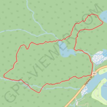
Name: Bat Lake GPS track, route, trail
Coordinates: 45.57447 -78.54044 45.58603 -78.51968
Topography: Unorganized South Nipissing topographic map
Other GPS tracks
Click on a GPS track to view route, its statistics and profile.
The Highlands Loop
Canada > Ontario > Hastings County > Centre Hastings
Distance: 996.8 Km • Elevation gain: 8,691 m • Maximum elevation: 485 m